Skip to content
Peaks of Tasmania Topographic maps of Tasmania’s wild places
  • Maps
  • Custom maps
  • About
Shop on Etsy (opens in a new tab)
  1. Home
  2. Maps

The maps

Topographic posters of Tasmania’s wild places. Open a map to zoom in on the detail, then find the poster on Etsy.

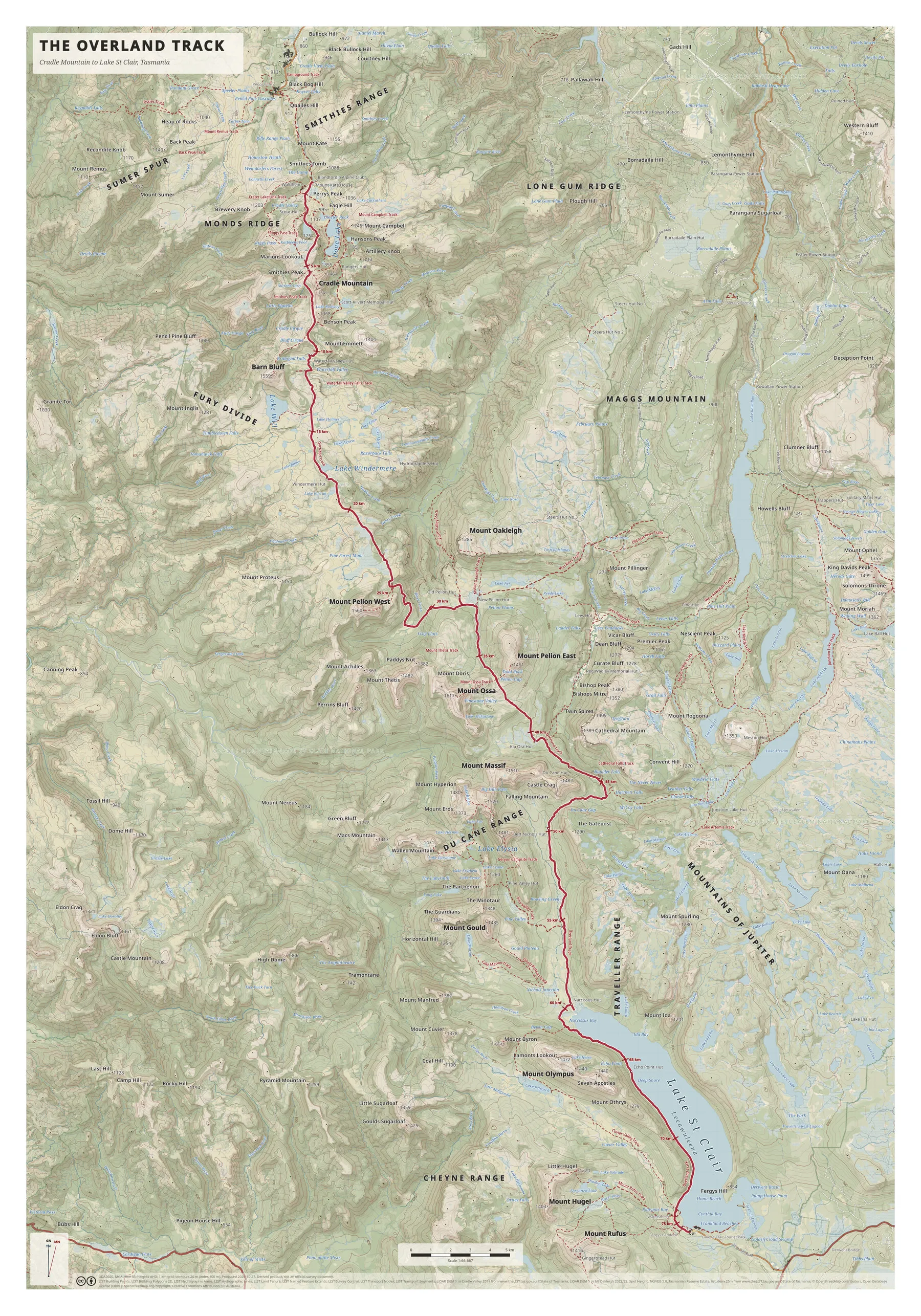
  • Tall portrait topographic map of the Overland Track, with a crimson route line running south from Cradle Mountain at top to Lake St Clair at bottom right.

    The Overland Track

    Cradle Mountain to Lake St Clair. Scale 1:66,667.

    Available on Etsy
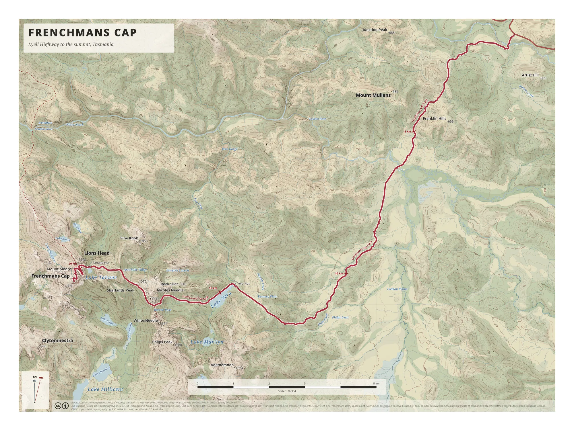
  • Topographic map of the Frenchmans Cap walk, with a crimson route line running from the Lyell Highway at top right to Lake Tahune and the summit at lower left.

    Frenchmans Cap

    Lyell Highway to the summit. Scale 1:26,334.

    Available on Etsy
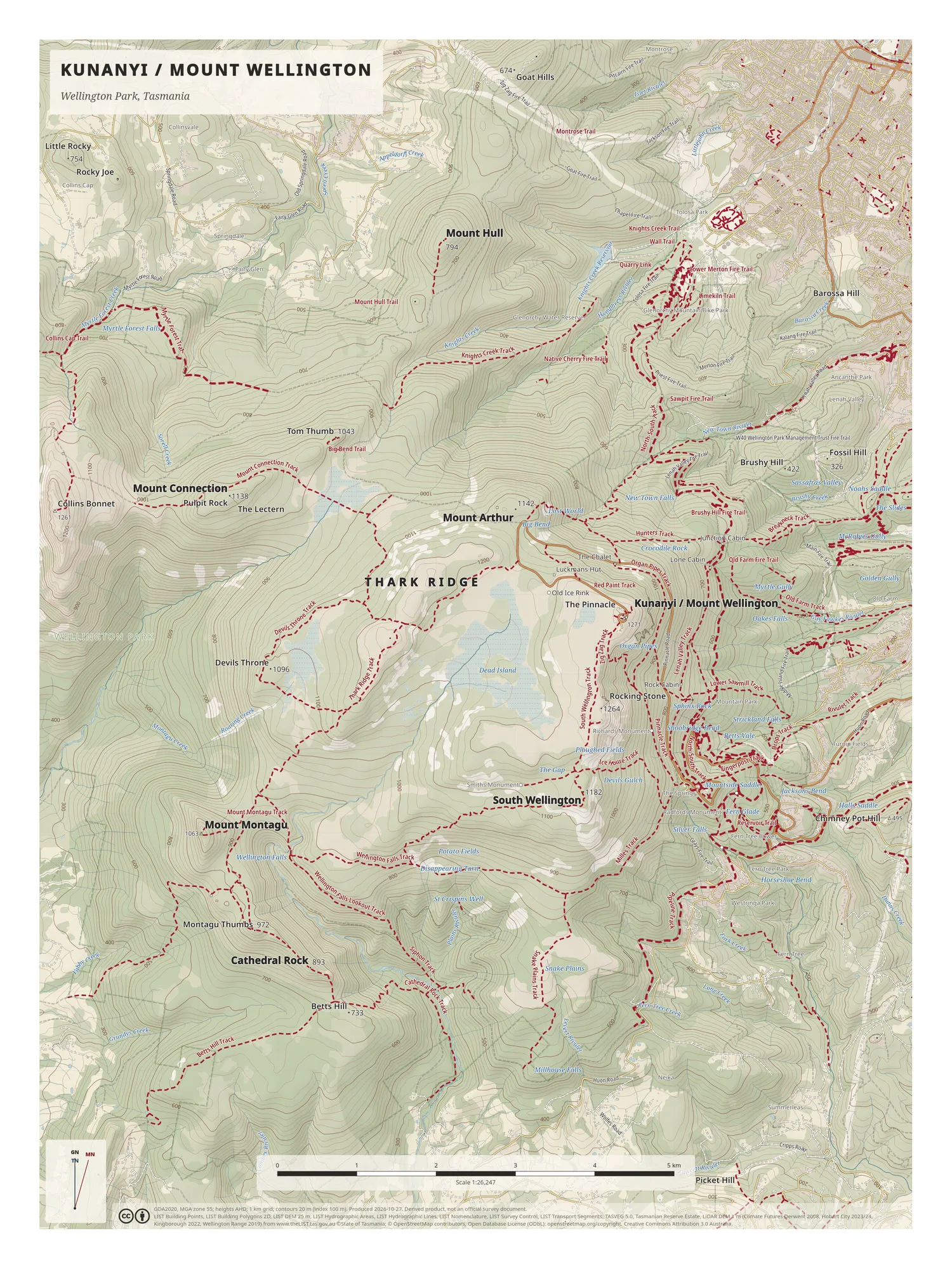
  • Portrait topographic map of kunanyi / Mount Wellington, with dashed crimson tracks across Thark Ridge and the mountain, and Hobart suburbs at top right.

    kunanyi / Mount Wellington

    Wellington Park. Scale 1:26,247.

    Listing coming soon

  • A map of your own walk

    Send a location and a GPX file, and the shop will make a custom Tasmanian map. You review a mock-up before anything is printed.

    Custom maps

These posters are derived products, not official survey documents. They are not a substitute for current official maps, a compass or GPS, and up-to-date track notes.

Buy a poster

Shop on Etsy (opens in a new tab)

Each poster is made to order by a print partner and shipped free with tracking via Etsy. Most orders dispatch within 5-7 business days. Delivery time depends on where you live.

Credits

Map data © State of Tasmania (LIST (opens in a new tab), CC BY 3.0 AU) and © OpenStreetMap contributors (opens in a new tab) (ODbL).

  • Custom maps
  • About

© 2026 Peaks of Tasmania